Registration is open, new Start/Finish

We officially opened registration a couple of days ago and have already signed up our first couple of racers for 2022! We’re looking forward to seeing more entries roll in soon.

We’re also super stoked to report that we have a new Start / Finish location for 2022.

We were surprised to be informed recently that The Forks site we had been in talks with to use again in 2022 was suddenly unavailable to us, but after a bit of scrambling The Assiniboine Park Duck Pond Shelter, near the Assiniboine Park’s main pavilion, has become our new Start / Finish location. The park Conservancy has graciously agreed to keep the shelter open for us overnight so we’ll have access to their washrooms (including a room that can be used for changing).

Assiniboine Park Duck Pond

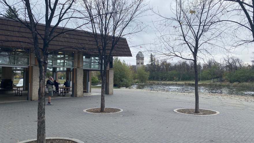
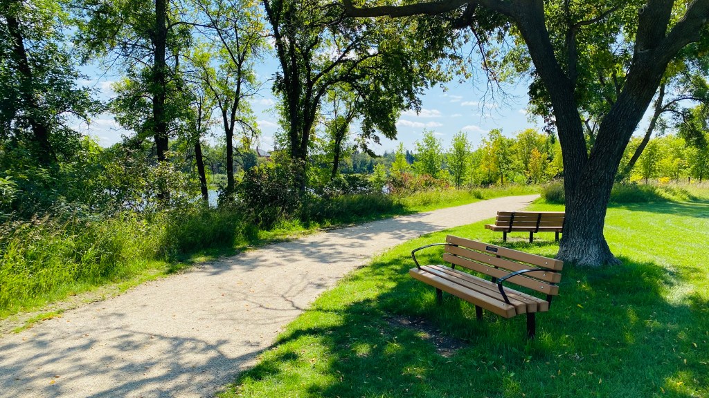
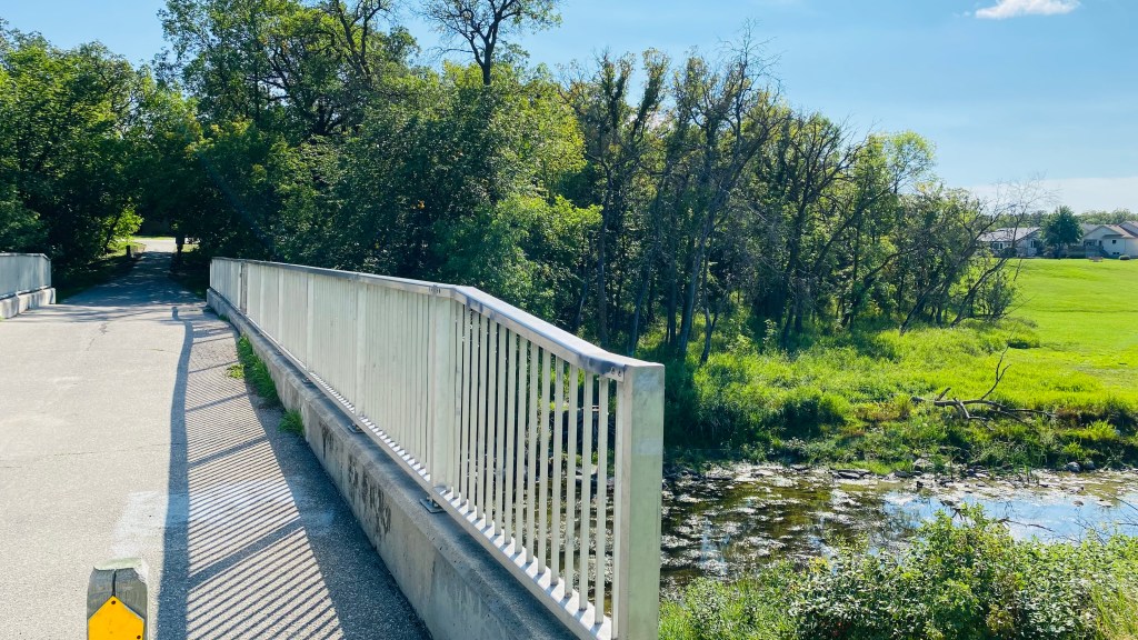
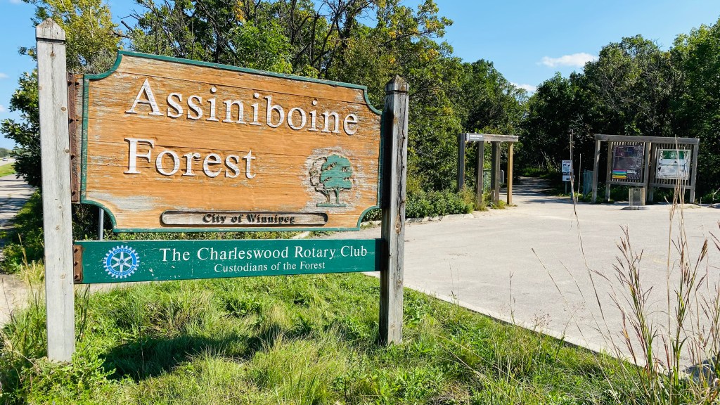
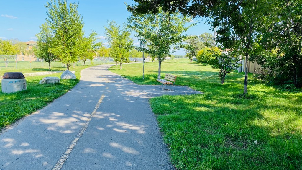
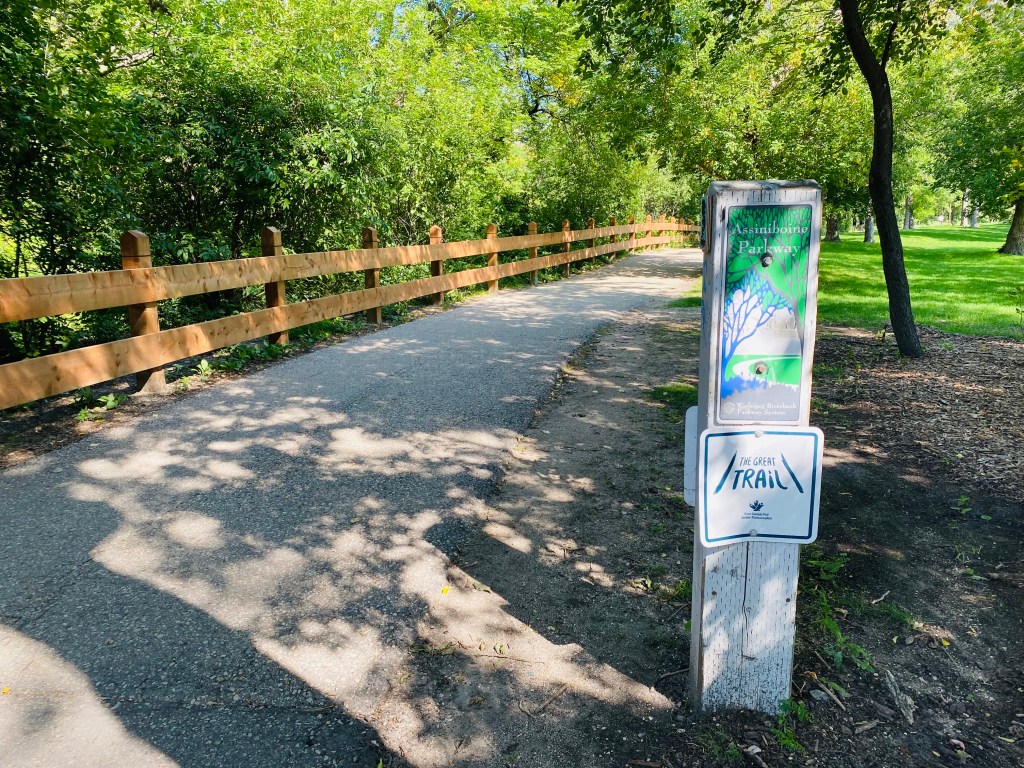
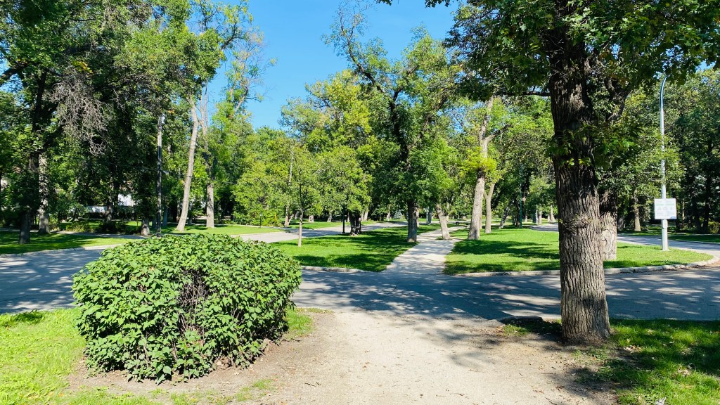
This is a park that many of us local riders and runners use frequently, and it was already beside our approved race route. There will be skaters on the adjacent ice pond, as well as walkers, tobogganers, and more making use of the area as we set out from, pass through, and finish at the location ourselves. The park is a real local treasure and a perfect setting for our event. We’re thrilled to be able to make use of it.

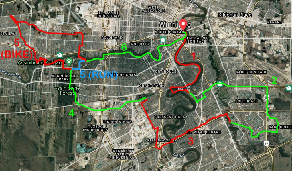
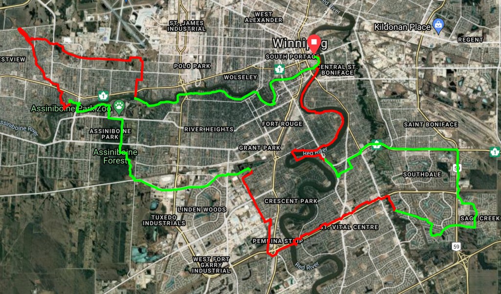
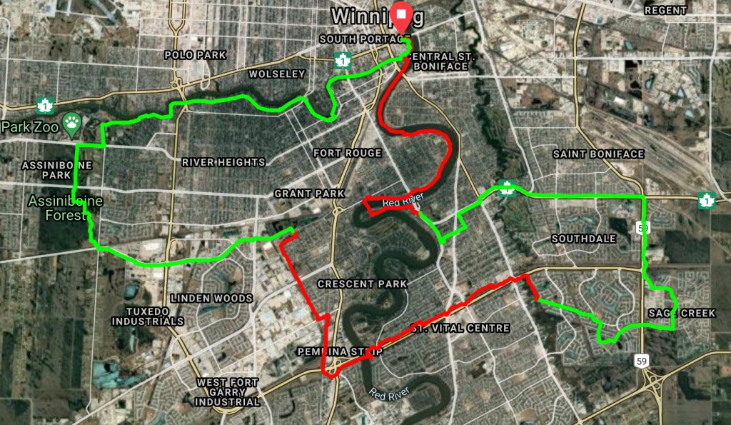
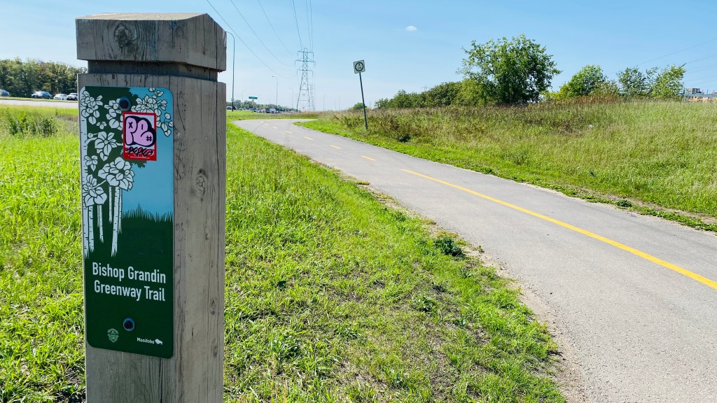
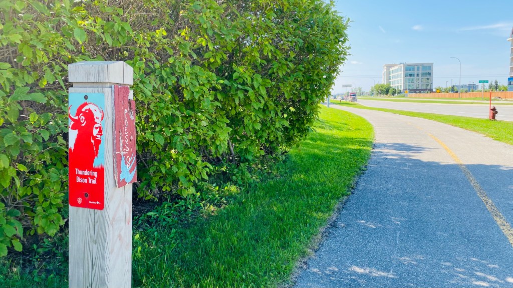
We’ve modified our Course Guide to reflect these changes, though for our cyclists the route itself barely changes at all; it’s mostly that the start/finish is relocated. We’ve also taken the opportunity to use the new location as a CheckPoint that we actually pass through in the middle of the course (because the course was already set to pass through the Assiniboine Park twice), so if you are doing 1 lap (70km) you’ll start and finish the race at the Duck Pond AND you’ll pass through the Duck Pond part way through the race as well. If you’re cycling for 2 or 3 laps you’ll pass through the Duck Pond 3 or 5 times respectively, in addition to the start and finish.

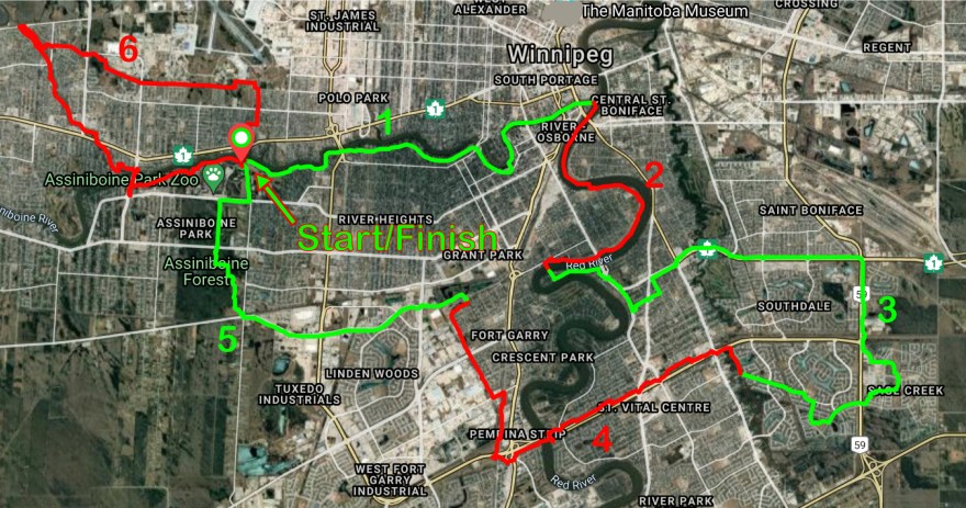
We’re working on modifying the run course and hope to have it posted soon. It will almost entirely use the cycling route already outlined in the Course Guide and pictured above but will use less of it, likely with a very short unique section that cuts the cycling route shorter to obtain our desired lengths.

Stay tuned for more info!

Route approved, full Course Guide posted, Registration still coming very soon, we swear :)

2022 Course

Great news!..the City has approved our route for 2022. It may still see minor changes as we monitor for things like road construction and other stuff as we approach race weekend but what you see above is more less what you’ll get.

If you’ve been following this blog note a change in the south east part of the course from what we posted as a tentative route a few weeks ago. We decided on a route that takes us further east along the Fermor Greenway and into Sage Creek because it avoids having to use a less desirable route along Dakota that had a number of street crossings.

We’ve ridden the route a few times now, by ourselves and with a few friends to get their viewpoint too, and we’re really happy with what we’ve come up with this year.

We hope that it is virtually Covid proof. Moving things completely into the city helps if we need to be less supported due to restrictions if, for instance, new laws prohibit us from operating manned CheckPoints. Participants will be much closer to Race Headquarters and there will be a number of 24 hour shops (e.g. 7-Eleven, Tim Horton’s) close to the route should people need to find emergency shelter until we can get to them. Conditions will likely be less severe (e.g. fewer huge snow drifts to impede progress) and volunteer rovers will be more easily dispatched to keep an eye on slower moving racers. Cellular service should be good throughout the route. Overall participants should be less vulnerable on the new route than in previous years if we need to move to a less supported format.

With all of that said, our plan is to run the event essentially as we have in past with manned CheckPoints that participants pass through as they make progress. We’re targeting The Forks and a 2nd location around the half-way point of the route to act as CheckPoints, which when including the Start and Finish of the race (also at The Forks) would amount to 3, 5, or 7 stops depending on whether you plan to do 1, 2 or 3 laps. The distance and time spent between the CheckPoints is similar to what it has been in previous years.

We’re waiting hopefully just a couple more days to open registration. We’re basically ready to go but want to nail down a couple of final details mostly around contingency plans in case we have to move to a virtual event, and we want to be able to share all of that info with you before we take your money. We meet tomorrow to hopefully make those final decisions and have what we’re calling a ”semi-virtual” option if Covid restrictions really increase, though we’re optimistic that we’ll be able to run the event at full strength using plan A.

In the mean time the full Course Guide has now been posted. We may enhance it with a bit more info in the weeks to come but the full general description of the course is now posted.

We’ll be back in touch soon!

Route is hopefully set! Registration soon?

Still doing some route recon (pic taken on a new route section this past weekend) but we think it’s basically settled and we are now waiting for city approval.

Approximately 95% of the planned route is on officially designated or dedicated City bike/run/multi-use routes, with around 85% on dedicated (ie. no cars allowed) routes. The remaining approximately 5% is on relatively quiet roads that help connect the dots.

Once we have approval and a few final legal things squared away we want to open registration ASAP, maybe even by the end of the week. Other sections will be updated around the same time, including the Course Guide.

Registration fees will remain the same this year as they were last year.

Stick with us folks; more detail is on the way, but for now you can see the routes below that we’ve submitted for approval. Ignore that some parts of the routes are green and others are red for the moment – the colours will be used as a part of the Course Guide coming soon.

70km Bike Loop
55km Run Loop

We rode the course!

We’re still putting finishing touches on stuff so things may change a bit but we took the opportunity this past holiday long weekend to ride the full tentative course and we captured some footage and put together a brief video of some of the highlights Here ya go!

New Course Coming Together!

We’re hopefully putting the finishing touches on a new, completely in-city (Winnipeg) course soon and will then post all of the details here, but this is what we can tell you at the moment:

  • We’ve tried to maintain the feel of a rural event but in an urban setting, showcasing the amazing green spaces and greenways that Winnipeg has to offer.
  • Our goals are to make the course more accessible to participants for whom a rural event in the frozen winter is too formidable while keeping the event challenging enough that established participants will come back for a new adventure, all while addressing some of our safety concerns and reducing the complexity of the event through things like using fewer checkpoint facilities, keeping them open for longer on a looped course where you may visit the same checkpoint up to 3 times depending on your distance.
  • We’re planning to start and finish at The Forks, offering 1, 2, or 3 laps of the course depending on the distance you want to complete (distances will be similar to what we’ve offered in the recent past).
  • 85-90% of the course is on officially designated bike/run multipurpose routes (this includes city roads like Wellington Crescent where vehicles are allowed but it’s a well established, marked cycling route).
  • Close to 80% of the course is on DEDICATED bike/run multipurpose routes that are restricted from vehicles.
  • Weather permitting we’re planning for sections on the Red and Assiniboine official river trails as well as sections alongside the Seine River and Sturgeon Creek.
  • We’re planning for sections through the Spirit Woods and the Assiniboine Park Forest, and many official greenways.

Below are some pics of a recent recon of the tentative route. Hopefully more info and the actual race route will be posted soon!